Randonnée Sports d'hiver Les Combes - La forestière - Photo
 norbertmarteau
norbertmarteau

Utilisateur

© OpenStreetMap contributors
Longueur
Longueur
4,6 km
Altitude max
Altitude max
917 m
Dénivelé positif
Dénivelé positif
90 m
Km-Effort
Km-Effort  
5,8 km
Altitude min
Altitude min
877 m
Dénivelé négatif
Dénivelé négatif
91 m
Boucle
Boucle
Oui
Date de création :
2019-05-06 15:40:29.482
Dernière modification :
2019-05-06 15:40:29.482

(0 Avis)

Sports d'hiver
Sports d'hiver
1h00
Difficulté : Facile

Scannez ce code QR pour ouvrir la randonnée dans l'application SityTrail

Application GPS de randonnée GRATUITE

Logo SityTrail SityTrail

IGN / Instituts géographiques
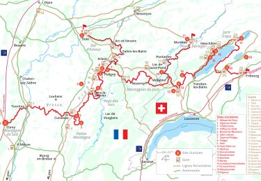
Télécharger SityTrail sur l'App Store Télécharger SityTrail sur Google Play

Logo SityTrail SityTrail World

Le monde est à vous

Télécharger SityTrail sur l'App Store Télécharger SityTrail sur Google Play Télécharger SityTrail sur Huawei AppGallery

À propos

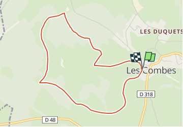
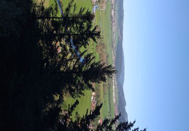
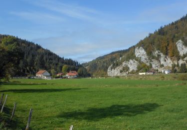
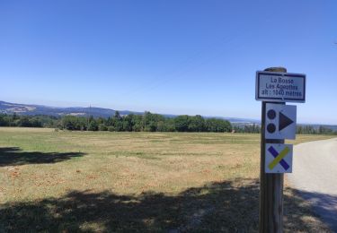
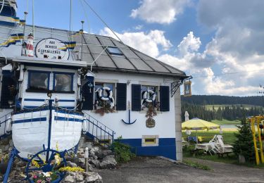
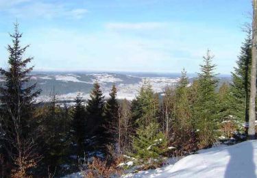
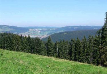
Randonnée Sports d'hiver de 4,6 km à découvrir à Bourgogne-Franche-Comté, Doubs, Les Combes. Cette randonnée est proposée par norbertmarteau.

Profil altimétrique

Localisation

Pays :
France
Région :
Bourgogne-Franche-Comté
Département/Province :
Doubs
Commune :
Les Combes
Localité :
Unknown
Départ:(Dec)
Départ:(UTM)
313360 ; 5214622 (32T) N.

Randonnées à proximité

Randonnée Marche Grand'Combe-Châteleu - Grand Combe Chateleu  - Photo
Marche
eltonnermou

Marche

Très difficile
Grand'Combe-Châteleu, Bourgogne-Franche-Comté, Doubs, France
17,2 km | 27 km-effort
6h 5min
Oui
Randonnée Marche Morteau - Via Cluny: de Morteau (Montagnes du Jura) à Cluny (Bourgogne) - Photo
Marche
GUIDE
ViaCluny

Marche

Très difficile
Morteau, Bourgogne-Franche-Comté, Doubs, France
445 km | 590 km-effort
134h 8min
Non
Randonnée Marche Les Combes - Remonot 8 octobre 2020 CAF - Photo
Marche
TRIMAILLE

Marche

Difficile
Les Combes, Bourgogne-Franche-Comté, Doubs, France
21 km | 32 km-effort
6h 44min
Oui
Randonnée V.T.C. Morteau - Morteau - Roche au prêtre AR - Photo
V.T.C.
danaubrac

V.T.C.

Moyen
Morteau, Bourgogne-Franche-Comté, Doubs, France
45 km | 56 km-effort
3h 20min
Oui
Randonnée Vélo de route Morteau - Sortie jura - Photo
Vélo de route
tophebal

Vélo de route

Morteau, Bourgogne-Franche-Comté, Doubs, France
85 km | 103 km-effort
4h 24min
Oui
Randonnée Vélo Morteau - La République du Saugeais - Doubs - Photo
Vélo
tracegps

Vélo

Difficile
Morteau, Bourgogne-Franche-Comté, Doubs, France
86 km | 108 km-effort
4h 0min
Oui
Randonnée V.T.T. Les Combes - Espace VTT FFC Val de Morteau - Circuit n° 86 - La Motte variante - Photo
V.T.T.
tracegps

V.T.T.

Difficile
(1)
Les Combes, Bourgogne-Franche-Comté, Doubs, France
21 km | 27 km-effort
2h 0min
Oui
Randonnée V.T.T. Morteau - Espace VTT FFC Val de Morteau - Circuit n° 86 - La Motte - Photo
V.T.T.
tracegps

V.T.T.

Difficile
(1)
Morteau, Bourgogne-Franche-Comté, Doubs, France
31 km | 41 km-effort
3h 15min
Oui
Randonnée V.T.T. Morteau - Espace VTT FFC Val de Morteau - Circuit n° 16 - Chauveresche - Photo
V.T.T.
tracegps

V.T.T.

Difficile
Morteau, Bourgogne-Franche-Comté, Doubs, France
18,1 km | 24 km-effort
2h 30min
Oui


Fermer
Mes abonnements